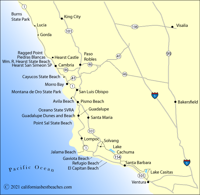
Directions to Morro Bay Beaches
From Highway 1, take South Bay Boulevard and then turn onto Main Street which becomes State Park Road. Continue south to the marina and campground.
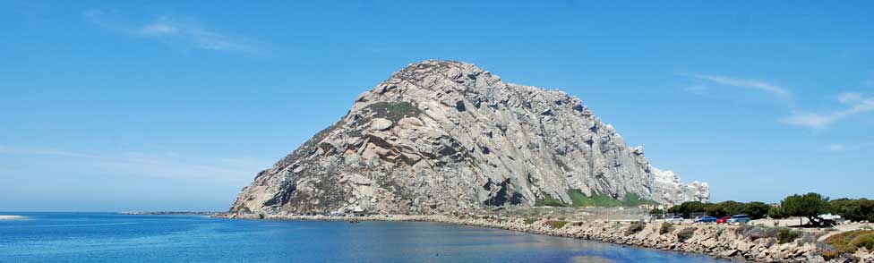
For Coleman Park and Morro Rock Beach, take Main Street south from Highway 1. Turn right (west) onto Beach Street and then right onto Embarcadero. Embarcadero becomes Coleman Drive beyond Coleman Park. Find beach parking and restrooms for Morro Rock Beach on your right.
For access to Montana de Oro State Park, take South Bay Boulevard south off Highway 1 and follow it to Los Osos Valley Road at the south end of Morro Bay. Turn west onto Los Osos Valley Road which becomes Pecho Valley Road. Continue south into the park.